GNSS equipment
Field receivers and base stations. Retail and wholesale sales, setup, training and support.
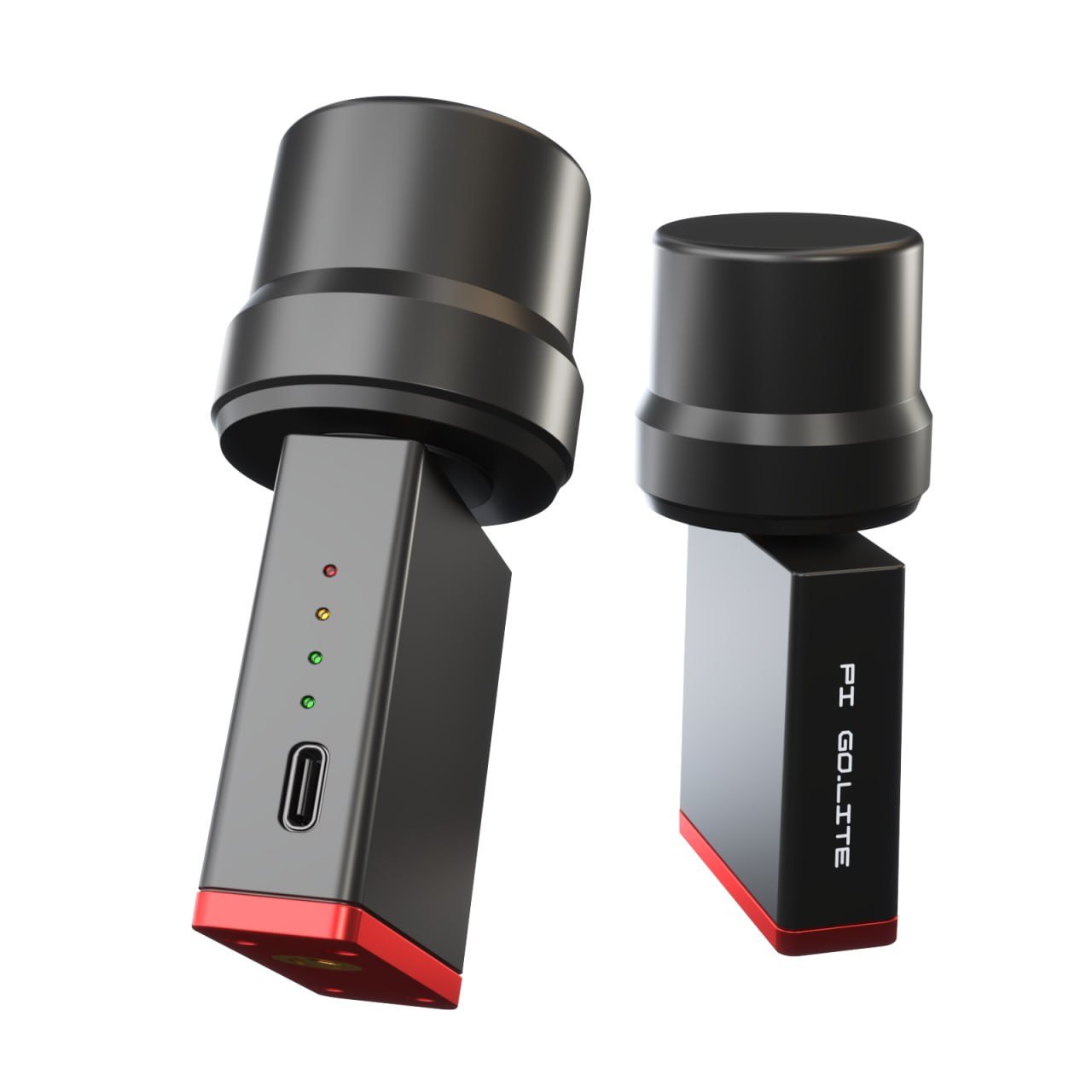
PiGO Lite Plus
Compact and lightweight. A multifrequency receiver for RTK surveying and stakeout. Records static and kinematic observations.
| GNSS module | Comnav (SinoGNSS) K902 |
|---|---|
| Operating modes | RTK, static and kinematic observation logging |
| Internal memory | 8 GB |
| Logging rate | Static — 1 Hz; kinematic — 5 Hz |
| RTK corrections | Requires a base station with an MSM4 or MSM5 stream and the BeiDou B3 signal |
| Wi-Fi | Download files from the receiver’s memory. Local NTRIP caster mode (for example, for DJI RTK drones). |
| PiNedali radio link | Communication between two PiGO Lite Plus receivers over distances of up to 200 m (Base–Rover mode). |
| USB Type-C | Power and wired connection; connection of PiRat and PiDali accessories |
| Inclinometer | Built-in; compensates for the pole’s deviation from vertical. |
| Mounting | 1/4″ thread |
| Field software | Only 7Star version 3.1 or later and PiSatel |
Price, availability and wholesale terms on request.
Ask about pricing and a kit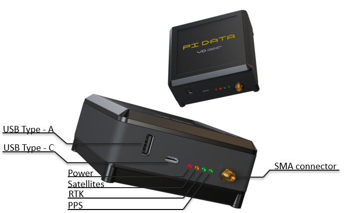
PiDATA
A base station for your own RTK network. Streams satellite observation data to a selected NTRIP caster and logs static observations.
| GNSS module | Comnav (SinoGNSS) K803 |
|---|---|
| Satellite systems | GPS, GLONASS, Galileo, BeiDou |
| Frequencies | L1/L2/L5, B1/B2/B3, G1/G2/G3 |
| Stream formats | RTCM 3.0, MSM4, MSM5 |
| Internet connection | Wi-Fi; Ethernet via a USB adapter; compatible USB 4G modem |
| Correction streaming | Configuration of one or more NTRIP casters |
| Static logging | Hourly files uploaded to your FTP, FTPS or SFTP server |
| Power supply | 5 V via USB Type-C |
| Connectors | USB Type-A, USB Type-C, SMA for an external GNSS antenna |
| Control | Web interface: satellite selection, stream format and fixed base coordinates |
| Installation | Station unit indoors; antenna outdoors with a clear view of the sky |
Installation requires an external GNSS antenna with mounting hardware and a cable, continuous power and a stable internet connection. The antenna kit and connection are agreed when ordering.
Price, availability and wholesale terms on request.
Ask about pricing and a kitSetup and training
- Connecting the receiver and field software.
- Connecting to Geocors base stations and Topograf.ge’s own stations in Batumi and Tbilisi.
- Field measurements, stakeout and data export.
The programme, duration and cost of training are agreed based on your experience and equipment.
Support
If you need help with setup, send the receiver model, software version and a description of the problem. Warranty terms, diagnostics and servicing arrangements are agreed before purchase.
Message us on WhatsApp